
On today's walk I'm accompanied by Janine, Andrea and my daughter Morgan....her first time on one of my walks, hopefully not the last! To get to the starting point turn off the Arthur Highway to Eaglehawk Neck and turn right into Waterfall Bay Rd and drive to the carpark at the end.
The beginning of the track is clearly signposted and climbs from the path along the cliffs of Waterfall Bay through tall, slim, regrowth stringy bark gum trees and large clumps of grass. There are a number of places along the track to admire the stunning views back along the coast towards Tasmans Arch. After about 20 minutes walking the track descends to Camp Falls, where there is a very sheltered camping or picnic spot at the top of the falls.


Cross the creek and follow the left bank upstream past a sign marked "Fortescue Bay". This track will lead you on a steady climb up and over Tatnells Hill...the highest point on the Tasman Trail. The climb to the top of the hill took about 45 minutes so by this time we were ready for a little rest and refreshment. We set up the fuel cooker ready for a nice cuppa...unfortunately this area turned out to be alive with leeches which made our short break a little uncomfortable. While leeches don't worry me all that much they are nasty little critters and do freak some people out...ie my fellow walkers....make sure you always have some salt with you on a walk....it does work a treat on the little suckers!
 |
| Leech check! |
 |
| Summit of Tatnells Hill |
After we'd had a drink and something to eat, as well as a leech check we took off on the next stage of the walk. On reaching the summit of Tatnells Hill the upward climb lessens as the terrain flattens out considerably. The next hour or so is a pleasant ramble through a forest of Stringybark and Gum-topped Stringybark before reaching the clifftops which offer fantastic coastal views.


At this point you will arrive at Junction Point, where the Hobart Walking Club cutting parties, constructing the track, met in October 1976....there is a sign commemorating this event. A little further on from this point you will reach a rock platform at Eagles Lookout, which is the ideal spot for lunch.

 |
| making notes |
 |
| Eagles Lookout |
Fantastic views of the coast line can be seen from this spot onwards....Cape Hauy and the Candlestick in the south, and up the coast to the Three Thumbs, whilst offshore are the Hippolyte and Cheverton Rocks.
 |
| The Lanterns, Candlestick & Cape Hauy |
The word Bivouac intrigued me so I had a look at the definition.... 'an encampment for the night without tents or covering'. No way would I be camping out without a tent or covering in Tassie's temperate climate!
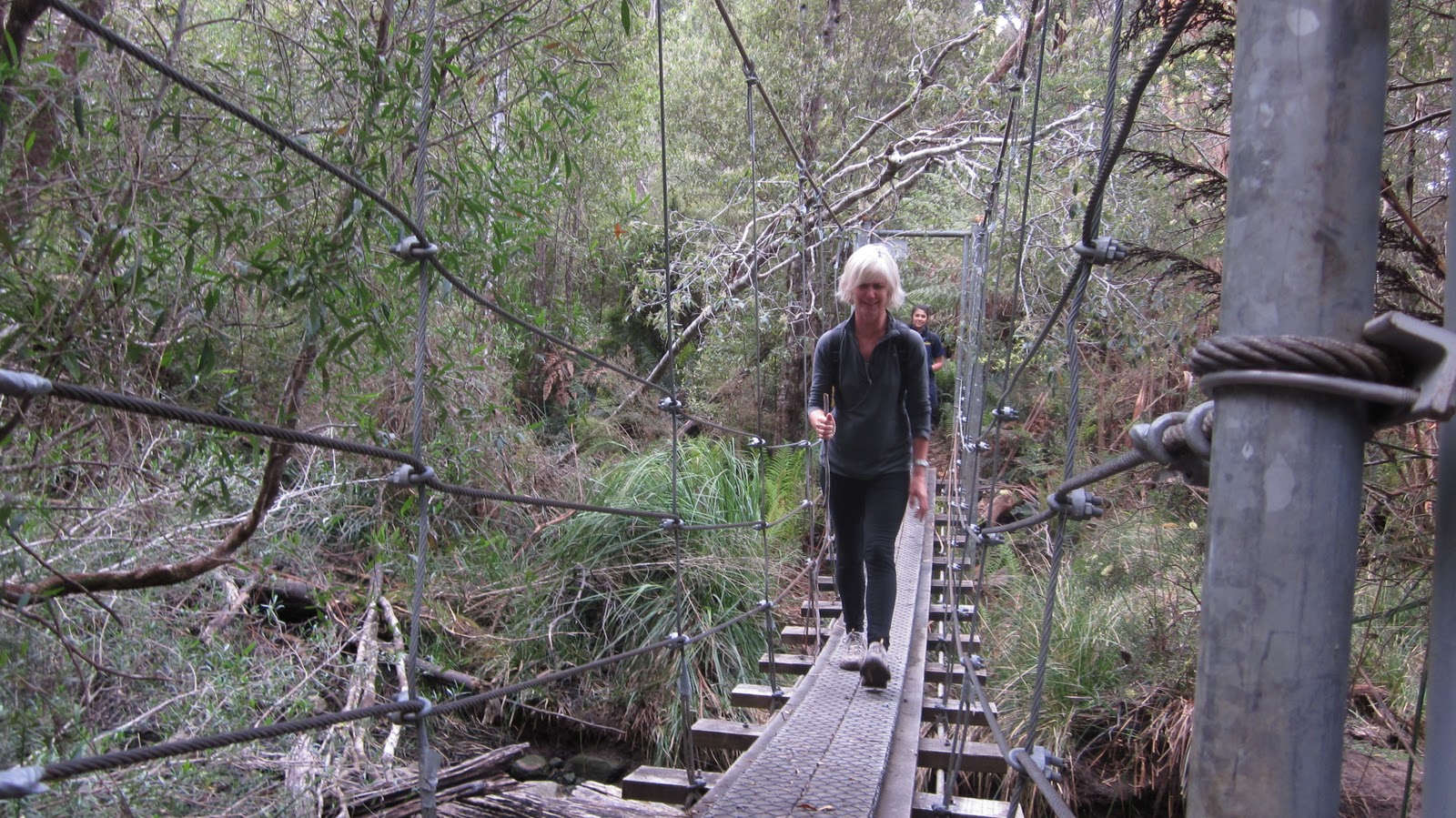
The next landmark is Canoe Bay, around an hour's walk away. The track is predominately downhill from Bivouac Bay through a damp section of forest containing Treeferns and some large Blue Gums. Fortescue Bay is tantalisingly visible but is still around 2 hours walk away. A suspension bridge across Walkers Creek leads you to Canoe Bay.

Canoe Bay is a sheltered anchorage, with a sunken dredge the 'William Pitt' acting as a breakwater to a south-easterly sea. There is a camping area on the shore and fresh water can be obtained from Walkers Creek at the head of the bay.
With an hour of walking to go we are on the homeward journey. Descending along the clifftop to the white sandy shores of Fortescue Bay.

What a walk!.....17 km's and just on 9 hours...just fantastic. This was such an enjoyable hike with fantastic coastal views and other than the initial uphill climb was a nice gentle walk that could be enjoyed by most people.
After a long walk like this the best advice I can give is to go home, run a nice bath with epson salts and take a long soak accompanied by a glass of Tassie's finest!


